 Over the past seven years, I have tried to make the most of every available space in which to garden on our property. In response to some reader requests about how I fit so many different gardens on less than half an acre and for my own garden planning, I asked my husband to draw a map of our property highlighting the various gardens.
The entire space is 100 feet wide and 200 feet deep. The front of our home faces southeast towards the street. The street is the highest point on our property and from there slopes downward. The map is drawn roughly to scale, each square representing five feet.
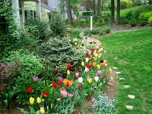
In the front, gardens welcome visitors as they walk down to our home: Goldberry Hill, the Front Border, and the Egg Garden.
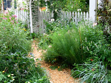
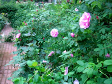
On the side, gardens occupy previously unused space: the Cutting Garden and the Rose Garden.
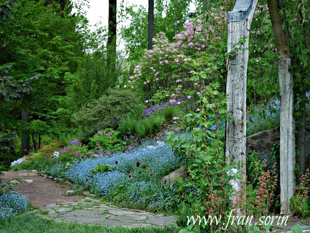
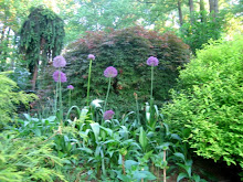
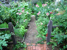
In the back, gardens border a large open lawn where the children play (clockwise from the Rose Garden): the Children's Garden, the Triangle Garden, the Long Border, the Walled Garden (includes the sandbox and is bordered by the fort), the Winter Border (this year's major garden installation), the Bird Garden, and Lilac Hill. The custom deer fence completely encloses all of these gardens and the Rose Garden.
Related Posts: How to Keep a Garden Journal and Creating Space for a Garden - the Cutting Garden
Saturday, April 05, 2008
Garden Planning: A Map of My Gardens
![]()
![]()
Subscribe to:
Post Comments (Atom)
Blogflux


No comments:
Post a Comment